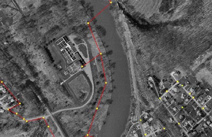
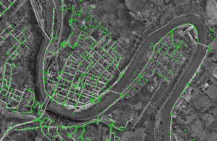
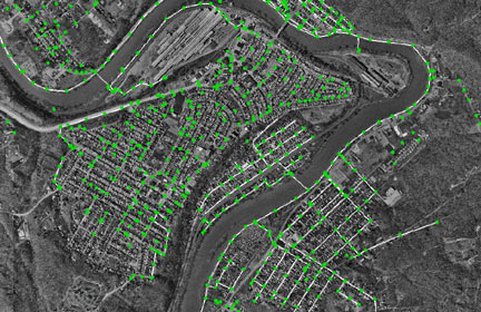
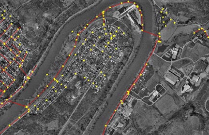
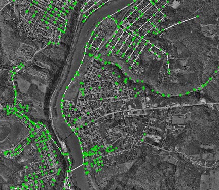
CGIS/GPS Mapping provides computerized drawings of the Kiski Authority's and the communities serviced by the Authority sewer lines. These sewer lines are then layered over aerial photography of the Kiski Valley. GIS/GPS mapping is also a database where all records or comments regarding the sewer systems are stored for future use.
GIS/GPS mapping replaces the traditional construction blueprints. In the mapping below, sewer manholes are identified as red dots and the sewer lines are yellow lines.
GIS/GPS mapping of the Kiski Valley Water Pollution Control Authority's treatment plant